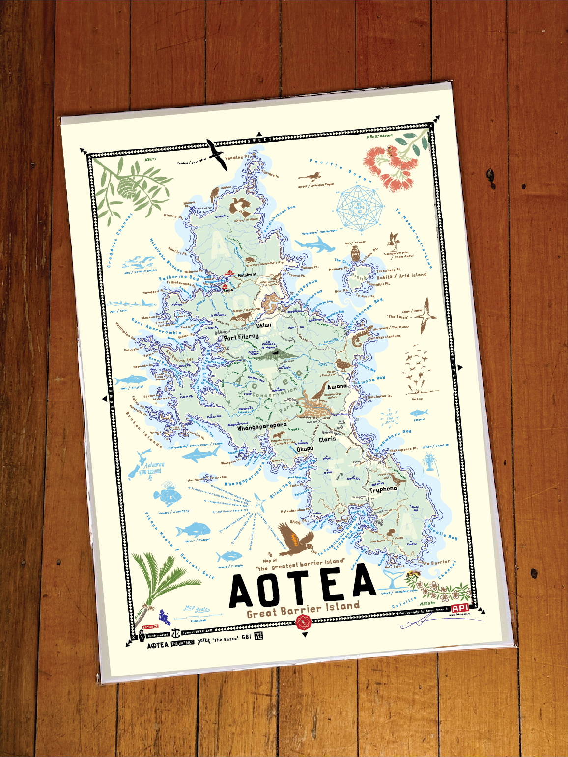
About the BB Map of Aotea:
Gt. Barrier Island puts the Aotea in Aotearoa
This is a map of Aotea, the greatest barrier island, Great Barrier Island lying on the outskirts of Tīkapa Moana - the Hauraki Gulf, just off Te Tara o Te-Ika-a-Māui the Coromandel Peninsula, on Te Ika-a-Māui the North Island of Aotearoa, NZ.
When hanging on your wall, you’ll be reminded of…
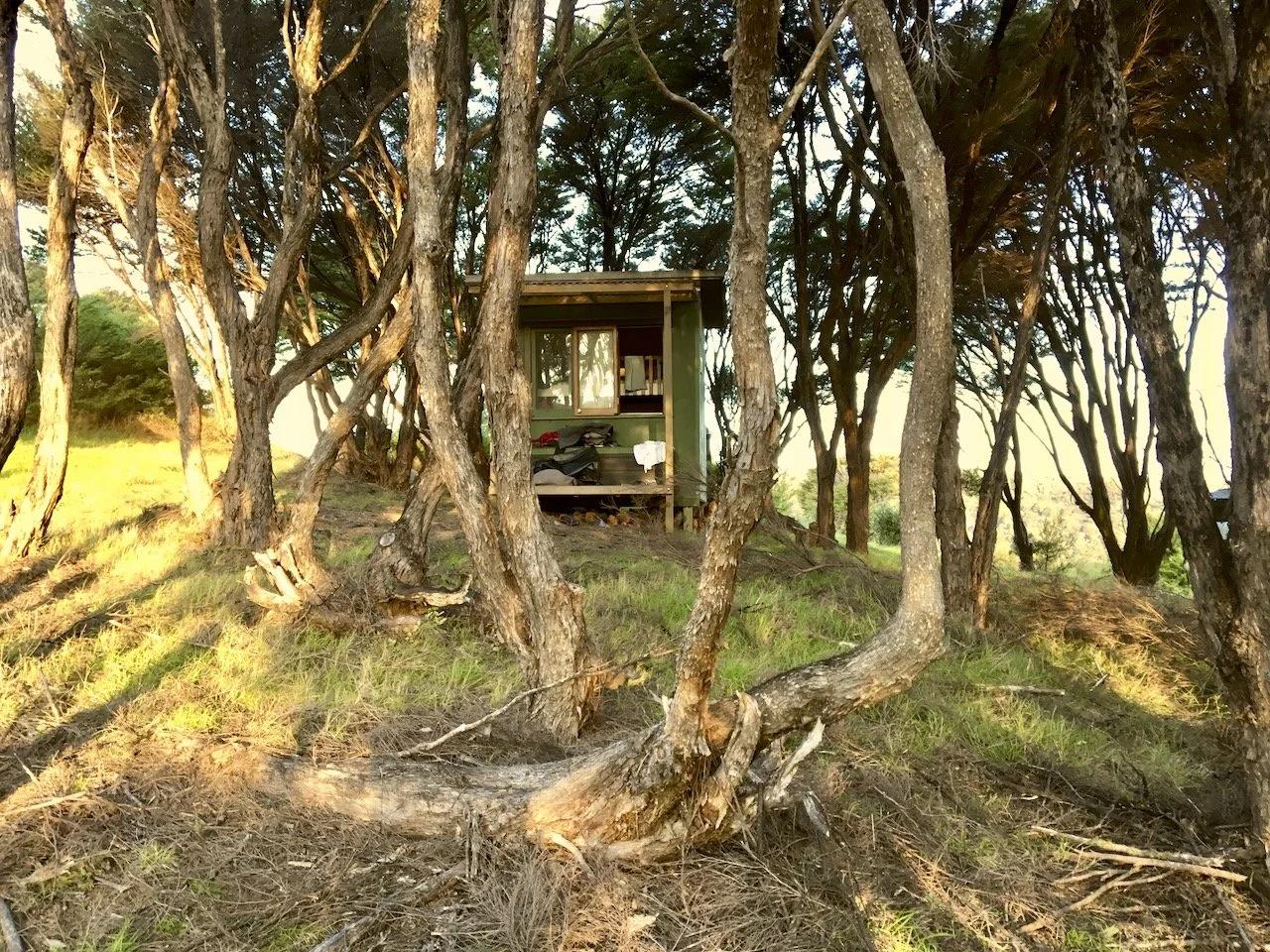
The abundant native bush, the winding road, the scenic viewpoint seats, the morning Kākā calls, the manuka, the can-do / make-do attitude, the smell of the bush, the islands, the beaches, the bird life, the solar panels, the quietness, the LPG bottles, the colour of the water, the wharfs, the banter, the nikau, the waves, the night sky, the local folk and lack of other folk, the lack of power, the Claris Club, the boats, the Pt. FitzRoy Wharf beer as the sun’s going down on a late summers evening with the reggae vibrating out of local car speakers. Aotea FM.
Map Typography:
The BB Map of Aotea is typeset in the Aotearoa inspired, hand-crafted typeface BB Waitangi.
Cartographers notes:
The beauty about island maps is the visual completeness of them, the boundaries are very obvious (water). I have great memories of Aotea, I love this place - there is so much spirit and character in the people you meet, all shaped by this unique environment. This map captures some of what makes this place so unique; the environment, the history, the ruggedness, the can-do attitude. If New Zealand was the world, then to me, Aotea would be the New Zealand of that world - does that make sense? It does to me.
Special thanks to Nell Williams from the Gray House Museum for providing heritage related details
API- map-maker, Gt. Barrier appreciator