
Coro Calling
Behind the scenes:
crafting the BB Map of the CORO -
Coromandel ‘the golden’ Peninsula.

Can you handle the 'Mandel?
Some places I map because they're interesting to me. Some because I feel deeply connected to them. The Coromandel? I'm mapping it because it's everything - all at once, it’s claimed a piece of my heart.
My Coro journey started a long time ago. My grandparents owned a bach in Whitianga back in the day. Growing up, I heard endless stories – the summer holidays, the 70s, the hippies, the old fishermen… the good ol' days. Those stories became the foundation for this hand-drawn map that is now available as an art print. So now you can bring a piece of the golden peninsula and your own stories to your wall.

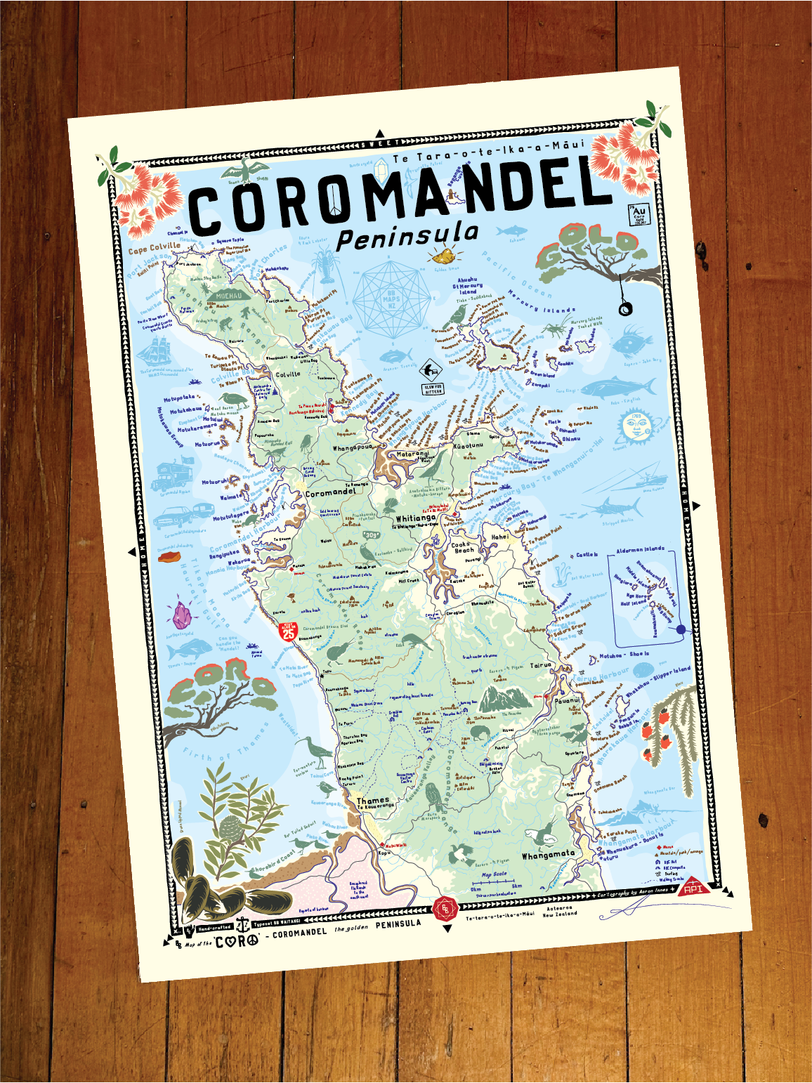
BB Map of the CORO - Coromandel 'the golden’ Peninsula Unframed Print
When hanging on your wall, you'll be reminded of…
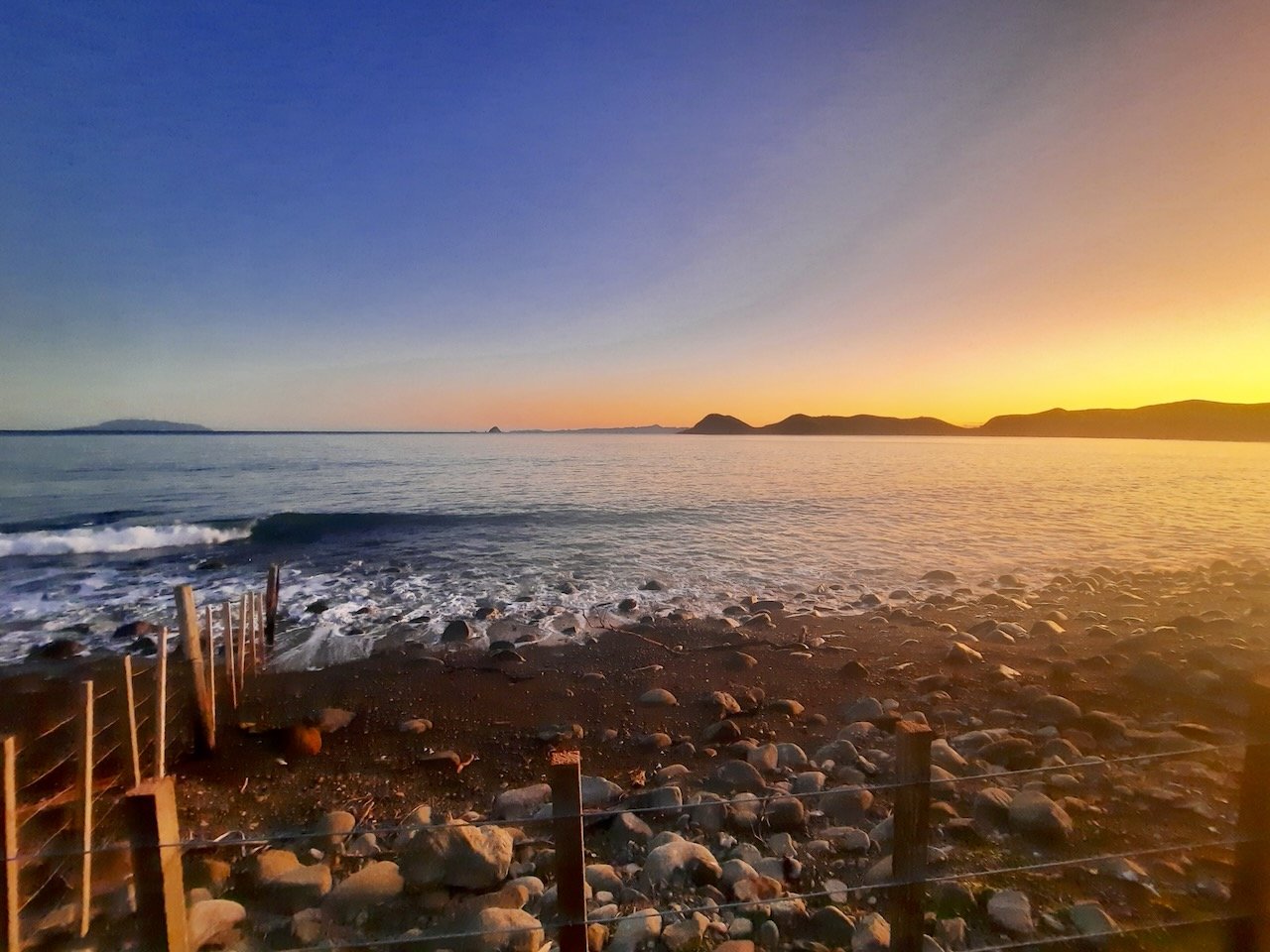
This golden peninsula in all its glory, the dual coasts and mountainous interior, Uncle Merv smoking kahawai at the bach, surfing Whangamata bar, the winding roads, the native bush, cicadas chirping, bittern signs and the seemingly invisible bitterns themselves, gold mines hidden in the bush, cool fresh rivers running over quartz rich rocks, swimming pools and waterfalls cascading through lush native bush filled with birdsong, ancient kauri, logging and mining relics, summer holidays both old and new, digging for hot water, looking for sunscreen, the mussel farms, the shorebirds, the hunt for gemstones, the pohutukawa flowering, providing shade, lining roadsides and beaches… golden times indeed.
Cartographer's Notes
My grandparents owned a bach in Whitianga back in the day. I grew up hearing endless stories of what it used to be like: the summer holidays, the 70s, the hippies and old fishermen, the good ol' days…
I've reconnected with the Coromandel over the last few years and love the place so much. There's incredible diversity and natural beauty packed into such a small space. The native bush hills call to me with their rivers, gemstones, and swimming holes. It's something I've never found anywhere else. It reminds me of my Northland home and the Barrier, but connected to the mainland. It has an island feel. The more I discover, the more I'm in love with the Coro.
The thing is with the ‘mandel is…. it’s not if… it’s when.
This is the perfect map for you holiday home to remind you of where you are and whats around you.. and your home to remind you of what to do on your next holiday. The perfect gift.
-API
Please note: NZ Shipping only
Contact hello@brokerbrothers.co.nz for Australia and rest of the world shipping of unframed prints via special order : ).
Map Print Details:
BB Home Sweet Home Series
Map drawn in Parua Bay
Printed, framed and shipped Ponsonby, Auckland
100% hand-crafted, original and authentic
A2 Dimensions 420mm x 594mm
Typeset in BB Waitangi and BB Mangamuka my bespoke hand-crafted typefaces
Available framed or unframed
Premium art print - Giclee Printed to order on 210GSM matt art stock
Special order prints, map customisations and framing options available
Shop BB Map of the CORO Prints
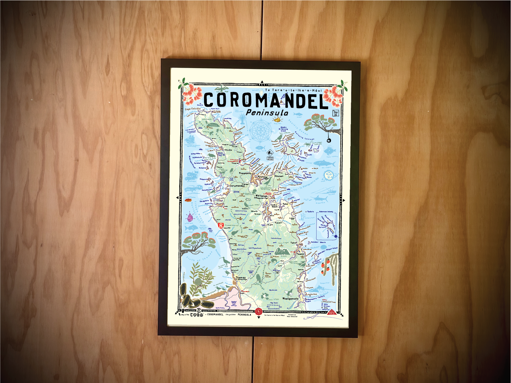
BB Map of the CORO - Coromandel 'the golden’ Peninsula Framed Print
When hanging on your wall, you'll be reminded of…
This golden peninsula in all its glory, the dual coasts and mountainous interior, Uncle Merv smoking kahawai at the bach, surfing Whangamata bar, the winding roads, the native bush, cicadas chirping, bittern signs and the seemingly invisible bitterns themselves, gold mines hidden in the bush, cool fresh rivers running over quartz rich rocks, swimming pools and waterfalls cascading through lush native bush filled with birdsong, ancient kauri, logging and mining relics, summer holidays both old and new, digging for hot water, looking for sunscreen, the mussel farms, the shorebirds, the hunt for gemstones, the pohutukawa flowering, providing shade, lining roadsides and beaches… golden times indeed.
Cartographer's Notes
My grandparents owned a bach in Whitianga back in the day. I grew up hearing endless stories of what it used to be like: the summer holidays, the 70s, the hippies and old fishermen, the good ol' days…
I've reconnected with the Coromandel over the last few years and love the place so much. There's incredible diversity and natural beauty packed into such a small space. The native bush hills call to me with their rivers, gemstones, and swimming holes. It's something I've never found anywhere else. It reminds me of my Northland home and the Barrier, but connected to the mainland. It has an island feel. The more I discover, the more I'm in love with the Coro.
The thing is with the ‘mandel is…. it’s not if… it’s when.
This is the perfect map for you holiday home to remind you of where you are and whats around you.. and your home to remind you of what to do on your next holiday. The perfect gift.
-API
Quality Frame:
Ready to hang, made of solid wood, glass and all fittings, just choose you colour, black, white or natural wood.
Please note: NZ Shipping only
Contact hello@brokerbrothers.co.nz for Australia and rest of the world shipping of unframed prints via special order : ).
Map Print Details:
BB Home Sweet Home Series
Map drawn in Parua Bay
Printed, framed and shipped Ponsonby, Auckland
100% hand-crafted, original and authentic
A2 Dimensions 420mm x 594mm
Typeset in BB Waitangi and BB Mangamuka my bespoke hand-crafted typefaces
Available framed or unframed
Premium art print - Giclee Printed to order on 210GSM matt art stock
Special order prints, map customisations and framing options available
Framed prints can only be shipped to addresses within New Zealand
BB Map of the Coro - Coromandel Walks
BB Map of the Coro - Fletcher Bay
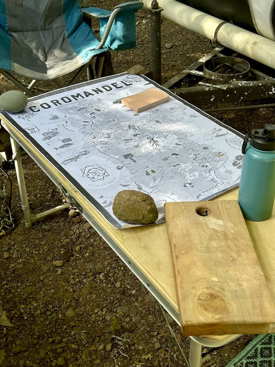
BB Map of the CORO - Draft development

BB Map of the Coro - Cave Weta
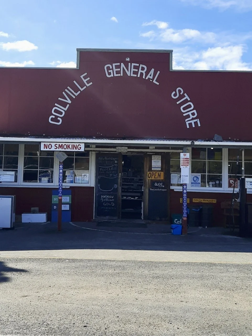
BB Map of the Coro - Colville General Store
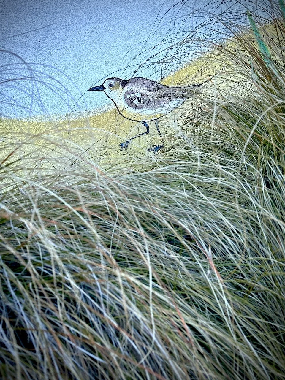
BB Map of the Coro - Kuaotunu Dunny Dotteral
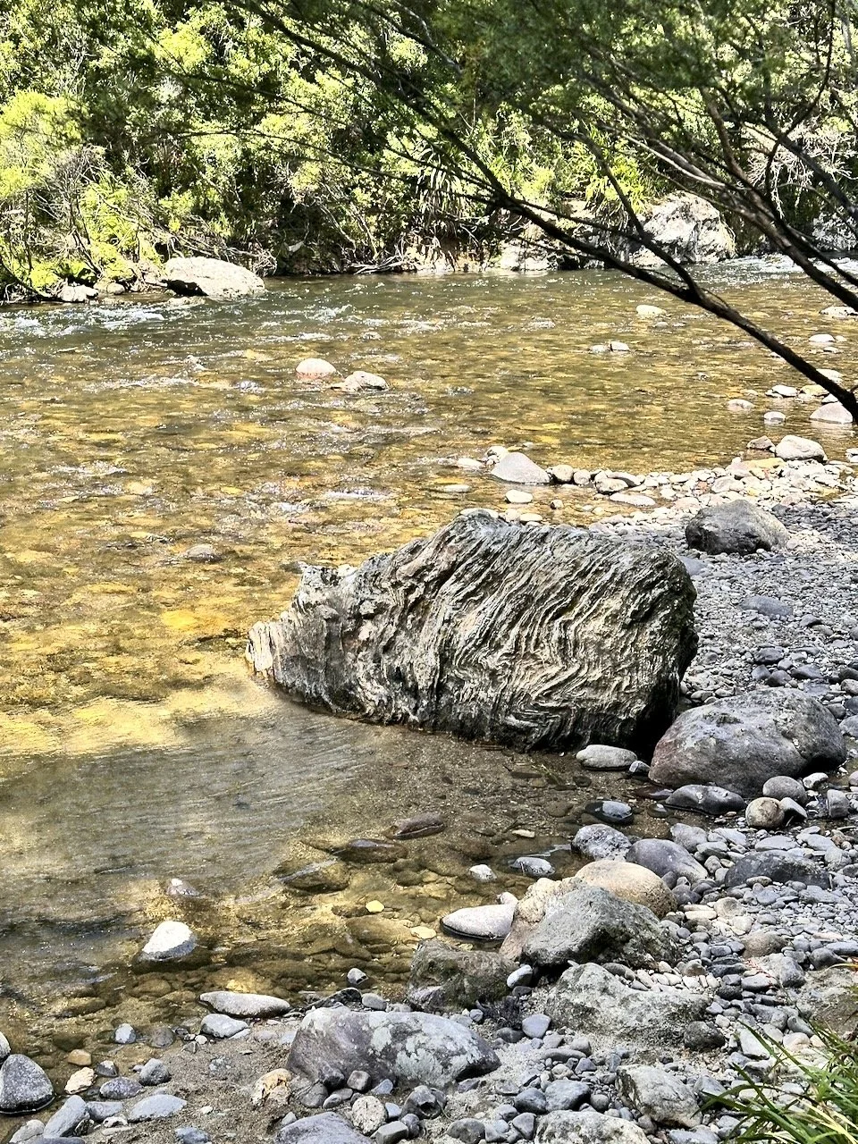
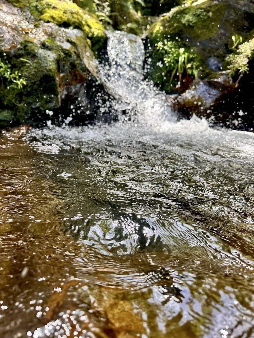
BB Map of the Coro - Coromandel River Gems
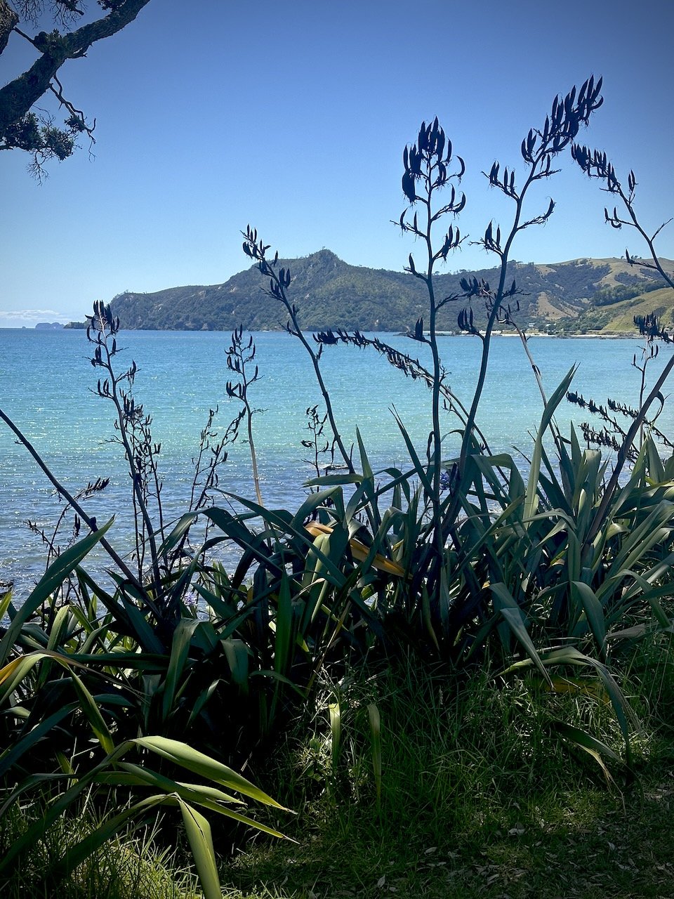
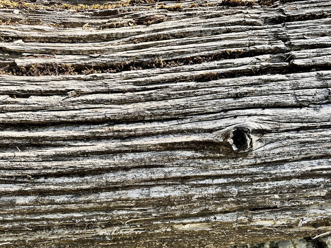
BB Map of the Coro - Flax
BB Map of the Coro - Opito Bay
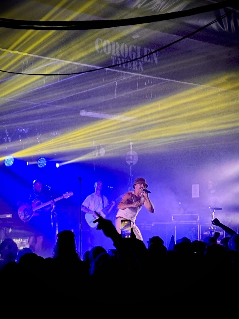
BB Map of the Coro - Coroglen Tavern Tom Scott
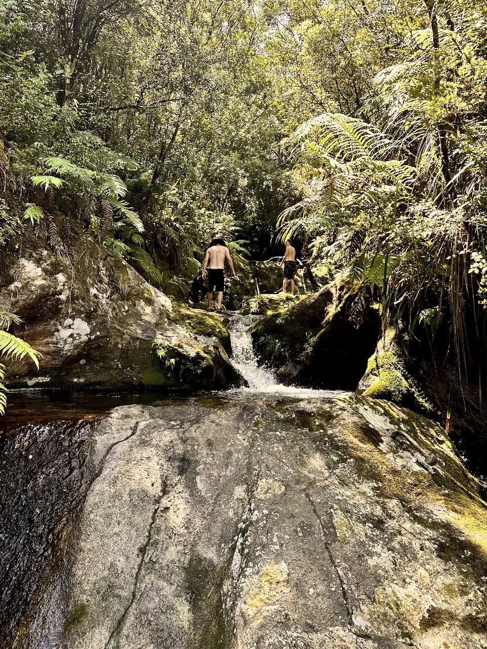
BB Map of the Coro - Swimming Holes
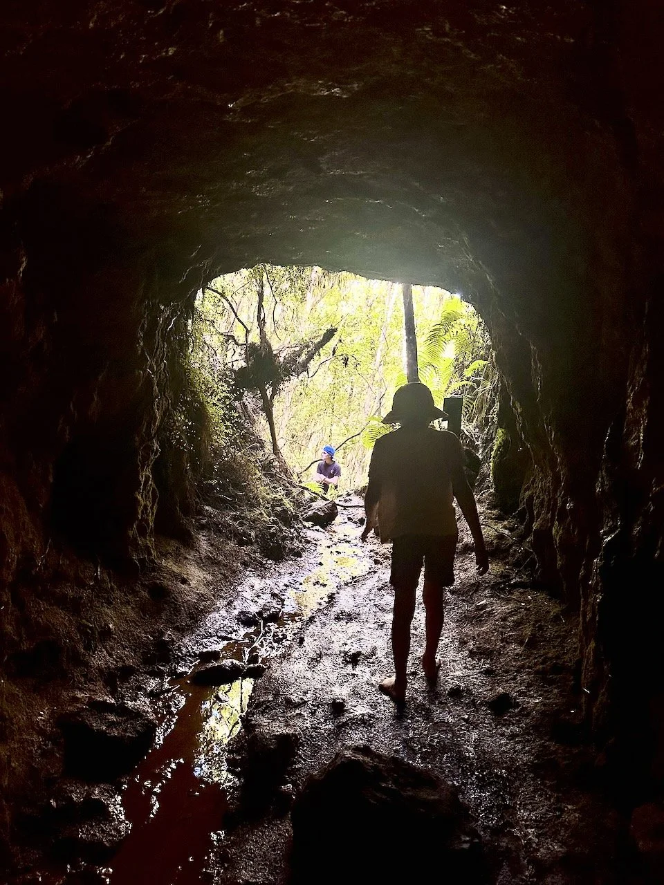
BB Map of the Coro - Mine craft
BB Map of the Coro - Coromandel Logging Days
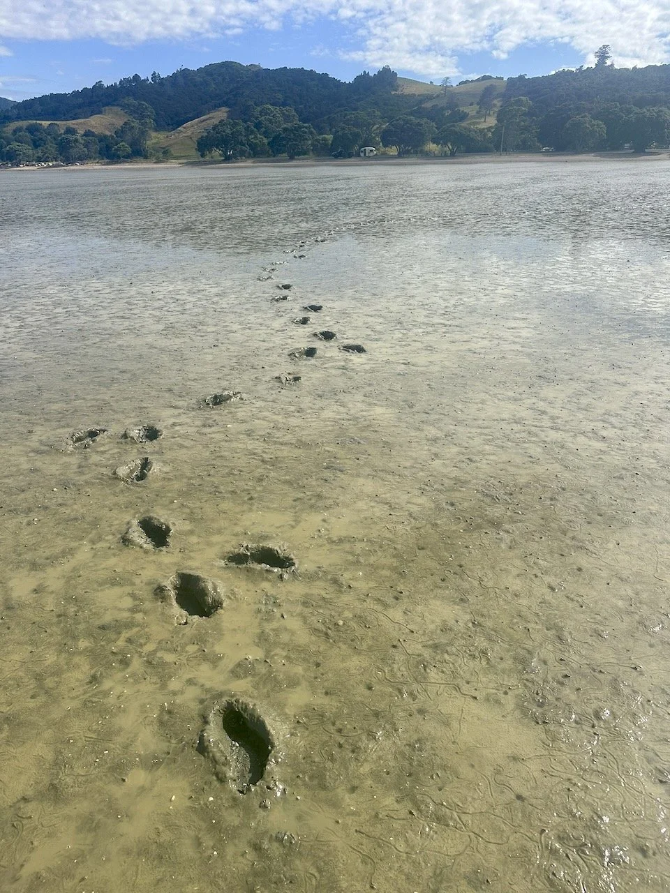
BB Map of the CORO - Muddy Feet
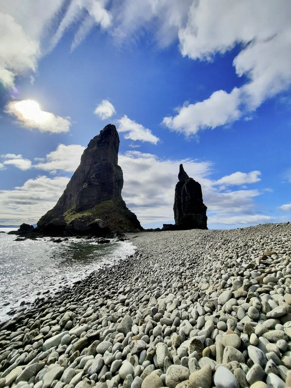
BB Map of the Coro - The other pinnacles
My map of reconnection
I've reconnected with the Coromandel over the last few years through this map development process and love the place so much. There's incredible diversity and natural beauty packed into such a small space. The more I explore, the more I discover, the more I am inspired and the more I fall in love with the Coro. Each visit adds new details to my mental map and plants the seeds for future exploration – and for this map print, which has become one of my favourite pieces.
Two coasts, one spine, there’s something in the water
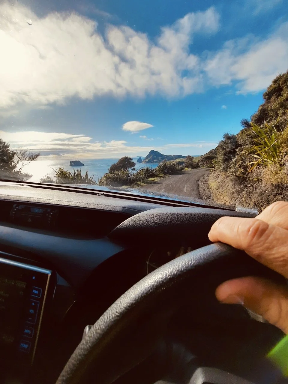
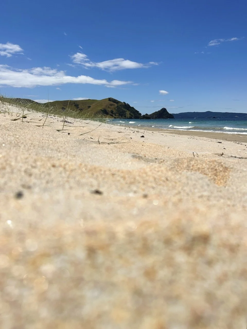
I grew up in Northland, the volcanic peaks and kauri forests feel very homely, but new and exciting. Partly what makes the Coromandel so compelling to me is the mountainous spine of the Coromandel Range that creates so many different worlds in such a small geographical area. The west coast facing the Hauraki Gulf… calm, sheltered, muddy feet and dreamy sunsets. The Pacific east coast, surf beaches, sandy sandwiches and sunrises. The spine also creates the water flow, fresh flowing rivers of quartz laden rocks, an amazing environment for native bush and biodiversity. I've tried to capture the feelings of these contrasting coastlines, the dividing range between them, and the flowing rivers in the map's design.
She’s a gem of a peninsula
Coromandel quartz crystals, amethyst, japser, chalcedony, carnelian, obsidian, gold… The Coromandel literally still has treasure hiding in plain sight, and beyond the crytals the hills full of native bush and birds call to me… Don’t even get me started on the rivers, waterfalls and swimming holes. It's something I've never experienced anywhere else. Cool fresh water running over quartz-rich rocks, waterfalls cascading through ferns, ancient kauri, birdsong echoing in and haunting the dawn…
Beach Communities and Bach Stories
Then there are the people and the beach towns stitched along the coastline like a string of summer memories.
Whangamata and the legendary bar. Pauanui and Tairua facing each other across the harbour. Hahei tucked beside Cathedral Cove, Cooks Beach stretching long and golden. Whitianga sprawling around its harbour, boats be a bobbing, kids fishing off wharves. Winding north, Kuaotunu keeping it low-key and pizza and ice cream friendly, Golfing around Matarangi, Whangapoua and the hike over to New Chums.
These aren't just dots on a map – they're where Uncle Merv smoked a million kahawai at the bach, where you waxed up the Bob Davies surfboard, learned to surf, where your grandparents bought their slice of paradise for a song in '68. Multi-generational summer rituals. The same families coming back year after year, the stories layering like tide lines, fishing tales shifting like the dunes.
When I draw these communities in the map, I’m not marking locations, I ‘m trying to honour the decades of sunburns, sandy floors, weather events and jandal blowouts, the new years eves and new years mornings, the golden times that make the Coromandel feel like home, even if you only visit but once a year.
That ‘Island’ Feel
The Coromandel reminds me both of my Northland home and my time on 'the Barrier', but connected to the mainland. It has an island feel – surrounded by water, a place apart. The vibe's different. The pace is different. Artists, sea changers, families with deep roots, surfers, dreamers. People who value connection to land, sea, each other. It's this unique character I wanted to capture when creating this print.
Why This Map
Creating this map is about connecting dots… my grandparents' and parents stories, my own explorations, the geological features, the human history, the wildlife, the pohutukawa flowering crimson, the shorebirds, the mussel farms, the gemstone hunting, the swimming holes, the surf breaks. It's all connected. That's what I love about map-making… you begin to see how everything relates.
Where This Map Belongs
I see this map hanging in holiday homes, reminding you of where you are. And on city home walls, to remind you where you'd rather be, an aid to help plan your next escape. For people with layered Coromandel stories of their own, and for people just starting to write theirs.
Available as an unframed print ready to frame and hang. Or as a quality framed print ready to bang on the wall. The perfect gift for anyone with Coromandel connections – or anyone who needs reminding that golden times are just a drive away.
For me? It's another chapter in my ongoing journey as a map-maker – trying to capture not just geography, but feeling. Not just locations, but love of place, yeah golden times, indeed.
The thing is with the 'mandel... it's not if... it's when.
Once it gets you, you're got.
This is my Coromandel journey as a map-maker.
- Aaron / API, BB MAPS NZ
[Shop the BB Map of the Coro Unframed Print →]
[Shop the BB Map of the Coro Framed Print →]
About This Print
Hand-drawn map of the Coromandel Peninsula
Unframed art print on quality paper
For bach walls or home offices
The perfect gift
Drawn, crafted, printed, framed in New Zealand